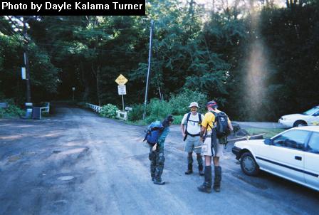
After donning our packs and Charlotte saying hello to her friend we took off up the rest of Kalihi St.
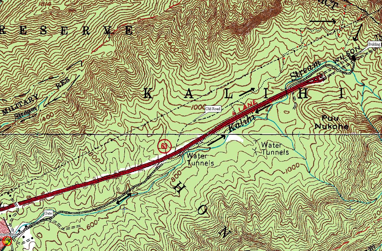
Soon we came to a gate and a path around it. Looked interesting so we followed the path and found ourselves on a paved road that led up to a water tank and beyond. In time the paved road became gravel and ended way up the valley. My GPS could not pick up any signals because of the heavy forest cover. We walked and walked mauka parallel to the Likelike Hwy till we came to a small culvert going under it. Height was about 5 feet and we had to bend low to get through. Next visual is a map of the hike. Everything from the end of the water road to somewhere high on the ridges by the power lines is kinda guess work because of the heavy forest. The route from the summit back to the parking area is pretty accurate.