
Here is a panorama view of the coast line again looking south. Everything looks bigger than the first photo as I zoomed in for this one.
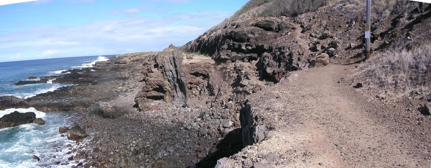
This second panorama shows the "end" of the road. It use to continue but erosion each year since the Iniki Hurricane a little more washed into the ocean. Now you have to climb up and over the cliff on the right. There is a "sea cave" below the cliff where the road use to be.
I added a few lines to show where the old road use to be. By the way the "road" was a rail road once upon a time. There are still sections where you can see the "ties" imbedded in the ground.
