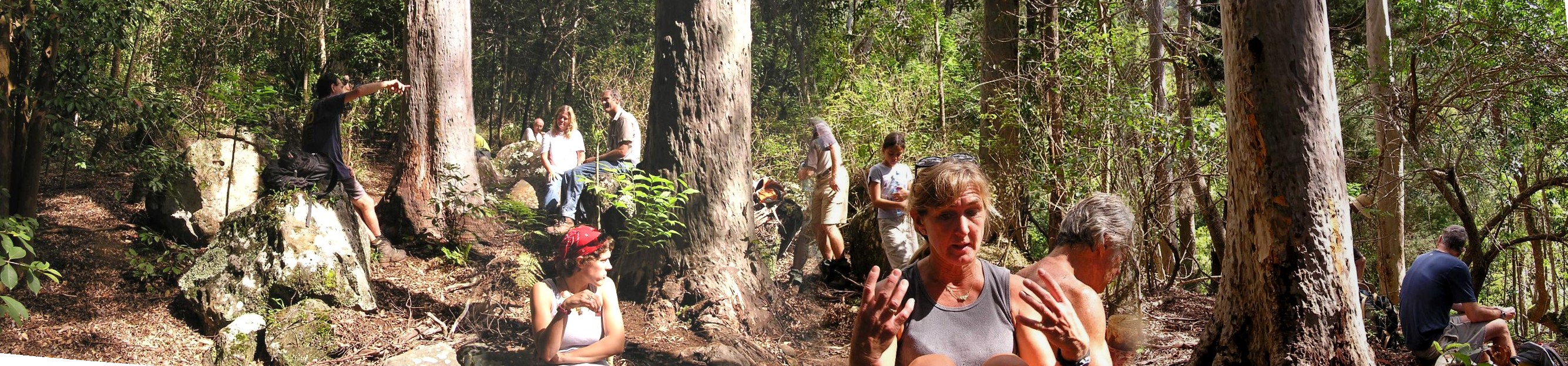
After leaving the tunnel behind we crossed the stream and climbed to the ridge crest on a switch-back trail. High on the ridge is a clearing we stopped for lunch. Here is a panorama of the lunch stop.
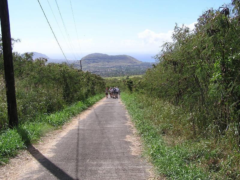
We continue down the ridge and low and behold we see Yellow markers again. Yup it's the Ramble Trail. Now you know why it's called the Ramble. Do not turn right onto the Ramble. Keep going down hill and in about 5 minutes you'll be at the spot we call Big Rocks. Here we leave the Ramble and follow Orange markers that will take us back to the paved road and in about 45 minutes the cars.